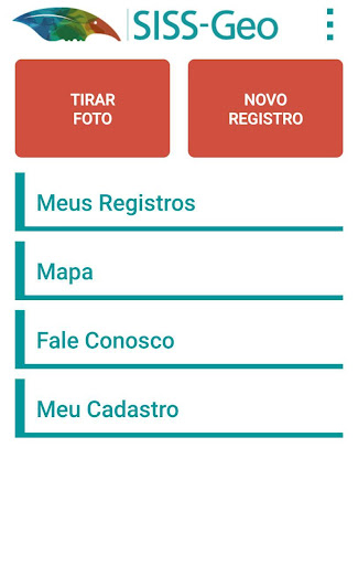
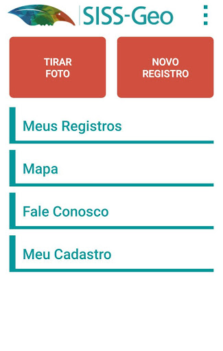
The Wild Health Information System - SISS-Geo, exists to generate, from georeferenced observations of animals, alert models of diseases in wildlife, especially those with potential for human involvement, enabling health surveillance and prevention actions.
The SISS-Geo Android application is lightweight (± 5MB) and has been designed so you can record your observations quickly and simply and efficiently, online or offline, contributing directly to building a public utility system for prevention diseases, in animals and in people.
For this, the SISS-Geo Android allows:
- User registration, making you a contributor to the system.
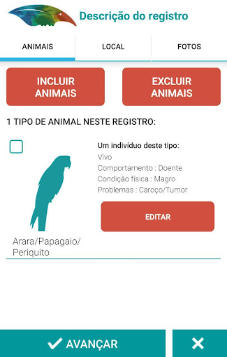
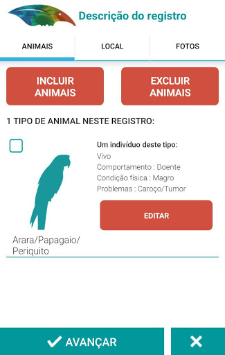
- Sending information about the animals, their location, characteristics of the environment and photos.
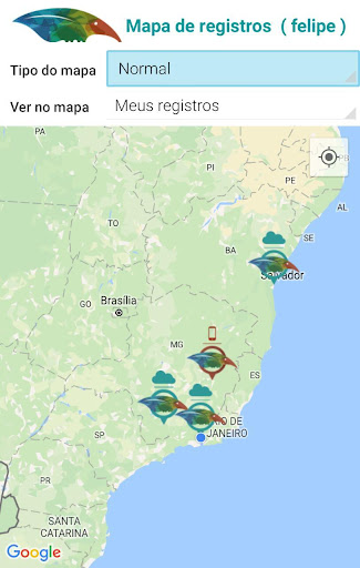
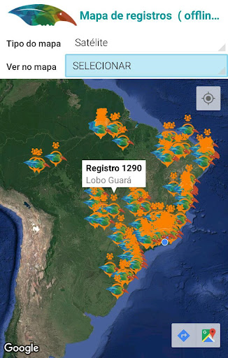
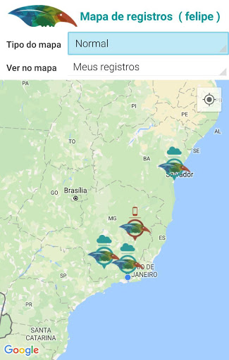
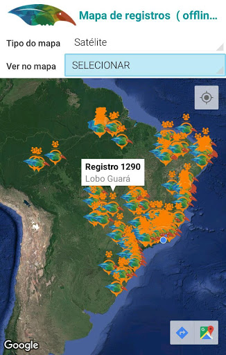
- Query all your information and the location of all records.
- View all registered photos.
- Sending suggestions, doubts and criticisms to the system.
SISS-Geo integrates the Wild Health Information Center (CISS) of the Oswaldo Cruz Foundation in partnership with the National Laboratory of Scientific Computation (LNCC).
In this update, significant improvements were implemented to offer a better experience for our users:
- Library Update: We updated the application's libraries to ensure greater compatibility, performance and security.
- New Feature: Now you can rotate your photos directly in the application, making it easier to view the images.
In this version of SISS-Geo several improvements and corrections have been implemented, including:
- Addition of new images of animals;
- Automatic update for trace types.
- Verification of information in the list of records to be sent.
In this version of SISS-Geo several improvements and corrections have been implemented, including:
- Addition of new images of animals;
- Automatic update for trace types.
In this version of SISS-Geo several improvements and corrections have been implemented, of which the following stand out:
- Usability adjustments in filling in the date and time fields;
- Location configuration adjustment.
- When creating a new record the collaborator is asked whether or not he is at the registration site, thus preventing himself from capturing the current position when the occurrence is in another location. If the employee is outside the registration location, the location must be informed by address or selection on the map. - When pressing the "Disconnect" button a confirmation question is asked. - A more robust SISS-Geo server availability check strategy has been implemented.
This version was improved from the interaction with collaborators of the Serra dos Órgãos National Park (Parnaso), RJ, resulting in improvements and new functionalities: - Redesign of the application interface for usability, intuitiveness, simplicity and modernity. - Introduced the possibility to crop the photo and configure the quality through the data channel (Wi-fi or mobile data). - Option to install the application on the device's memory card. - General settings and fault corrections.
 Samsung Galaxy Grand Prime
